Bizix Aerospace · TerrainSLAM · patent pending AU / US
Navigation
independent
of orbit.
The world's first commercially available GPS-denied navigation system for fixed-wing UAVs. Absolute position from the terrain itself — no satellites, no ground station, no cloud.
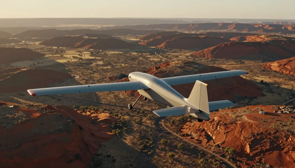
HDG 247° · ALT 412 m AGL · GS 23.4 m/s
GPS err 1.8 m · TerrainSLAM err 2.4 m
Core capabilities
Where GPS fails, TerrainSLAM flies
GPS-independent positioning
Zero reliance on GPS or any satellite signal. True global coordinates — absolute positioning, not relative tracking or dead reckoning.
Technology →All-weather operation
Heat shimmer, fog, haze and changing light are compensated for in real time. Atmospheric interference is no longer a mission abort.
Technology →Altitude adaptive
Processing adapts across the whole flight envelope — from low-altitude inspection runs to high-altitude survey missions.
Technology →
Edge-native hardware
Runs on affordable, off-the-shelf embedded computers. No expensive sensors, no data centres, no complex frameworks — deploy in minutes, not days.
Hardware platform →
Built for your mission
BVLOS redundancy, GPS-challenged pits and canyons, contested electromagnetic environments.
Use cases →Hardware platform
Edge-native architecture
The Bizix stack runs on affordable, off-the-shelf embedded hardware. No expensive sensors, no data centres, no complex dependencies.
- Affordable: runs on low-cost off-the-shelf hardware
- Lightweight: no complex software frameworks required
- Compatible: plug-and-play with leading autopilot platforms
- Simple: deploy in minutes, not days
| Parameter | Specification |
|---|---|
| GPS dependency | None — fully independent |
| Aircraft type | Fixed-wing optimised |
| Positioning | Absolute (global coordinates) |
| Environmental adaptation | Automatic — all conditions |
| Hardware cost | Affordable off-the-shelf |
| Integration | Autopilot-agnostic, plug-and-play |
| Patent status | Pending AU / US |
From the blog
Latest insights
Integrating a Secondary Navigation Source With Your Autopilot
What autopilot-agnostic really means, how an EKF blends position sources, how failover should behave, and the testing you should do before trusting it.
4 min read →Infrastructure Inspection Where GPS Struggles: Bridges, Canyons and Corridors
Bridges, urban canyons, pipelines and power lines all degrade GPS in different ways. How mixed-coverage inspection missions can keep their position.
4 min read →Agricultural Drone Missions Without GPS: What Works and What Does Not
Long broadacre flights, spray boundaries and repeat surveys all lean on GPS. Here is what terrain-based navigation can and cannot do when it drops out.
4 min read →Ready to fly without GPS?
Talk to our team about integrating TerrainSLAM into your operations. Tailored demonstrations for qualified prospects.
Or call 02 9137 4509